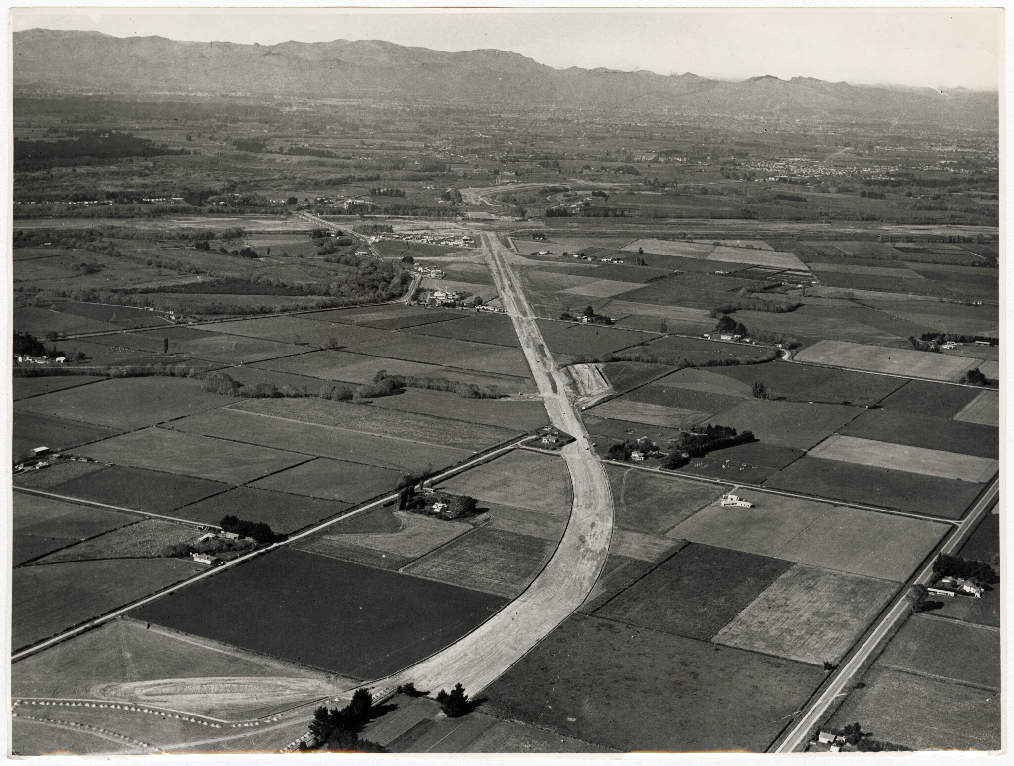
Aerial view of the construction of the section of the northern motorway after crossing the Waimakariri River. 18 May 1965.
The view is taken from the vicinity of Ohoka Road overpass bridge, looking south towards the Waimakariri River. Also seen are William Coup Road, Island Road and Neeves Road.
Do you have any photographs of the construction of the northern motorway? If so, feel free to contribute to our collection.
The Discovery Wall is a large interactive exhibition which allows several people to simultaneously explore images and stories of the history of the people and places of Christchurch. It is viewable on the ground floor of Tūranga, 60 Cathedral Square, Christchurch, New Zealand or on the Mobile Discovery Wall. Images displayed on the Wall can also be found on the Discovery Wall website.
More information
- Find local history events at the library
- More local history resources
- Visit the Discovery Wall
- View more Picturing Canterbury posts


Add a comment to: Northern motorway construction: Picturing Canterbury