Ōtautahi Christchurch
Find resources, facts, and history about our city, Ōtautahi Christchurch.
Christchurch Photo Hunt 2025 - The Winners
General information
Ōtautahi Christchurch is located in the province of Canterbury in the South Island (Te Waipounamu). It is Aotearoa New Zealand's second largest city by population. The city sits within the rohe of Ngāi Tahu iwi (tribe) and the hapu of Ngāi Tūāhuriri.
Christchurch became the country's first City upon the issuing of Letters Patent on 31 July 1856. This was a practice under British law whereby the monarch could designate a town a city if it became the seat of a bishop.
Ōtautahi Christchurch is known as a gateway to the South Island, and has a long history as a base for Antarctic exploration.
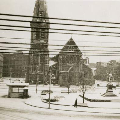
Prior to the earthquakes of 2010/2011 Christchurch was famous for its Neo-Gothic architecture though some key examples of this were destroyed or badly damaged during the quakes, including the city's emblematic Anglican ChristChurch cathedral.
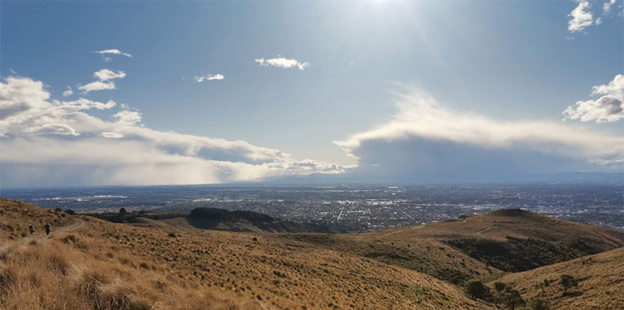
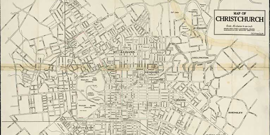
Ōtautahi Christchurch is located on the Canterbury Plains and is noted for its mainly flat geography, with much of the city occupying land that was originally swamp. The Ōtākaro/Avon River is a feature of the central city, with the Ōpāwaho/Heathcote River passing through suburbs such as Hoon Hay, Cashmere and Opawa. The city is bordered in the east by Pegasus Bay, and the Waimakariri River to the north. The south of the city encompasses Banks Peninsula with natural harbours at Lyttelton (Whakaraupo) and Akaroa.
Useful links
- Facts, stats and figures about Ōtautahi Christchurch Christchurch City Council
- Te Rūnanga o Ngāi Tahu Ngāi Tahu iwi
- Census place summary Statistics New Zealand
- Christchurch weather MetService
Christchurch in the catalogue
Find titles about Christchurch in the library catalogue
Find titles about Christchurch in the library catalogue
Blog posts
Heritage but not as you know it
From the Cave Rock Hotel Sumner to Harper’s Bazaar
Discover Canterbury: Ballantynes' Fire
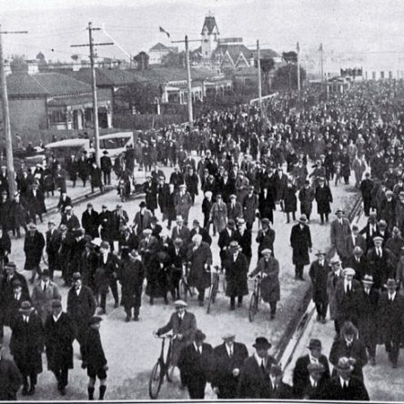
The Bridge of Remembrance turns 100: Monday 11 November 2024
Ghosts on Every Corner
Ōtautahi Christchurch Local History: Linwood
Ōtautahi Christchurch Local History: Riccarton
Impact of the Earthquakes on Ōtautahi Christchurch
Ghosts on Every Corner
Ōtautahi Christchurch Local History: Linwood
Ōtautahi Christchurch Local History: Riccarton
Impact of the Earthquakes on Ōtautahi Christchurch
Local body elections
Events
Local festivals celebrating Christchurch people and culture.

